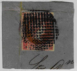
 Spanish-Philippine Stamp Isabella II on piece
From Scott's Standard Postage Stamp Catalogue
1938 (Ninety-fourth Edition)
Philippines, A.
A former possession of the United States of America, consisting of the largest island group of the malay Archipelago. They lie in the North Pacific Ocean north of Borneo and east of French Indo-China. The islands were acquired from Spain as an outcome of the Spanish-American War and include 7,083 separate islands and islets. The largest is Luzon (40,814 square miles) while the smaller islets are considerably less than one square mile in area. The total area is 114,390 square miles which is approximately the size of the State of Arizona.
The Hawes-Cutting Bill, passed over Presidential veto on january 17,1933 granted independence to the islands under certain conditions and officially designated the new autonomy as "The Commonwealth of the Philippines." On March 24, 1934, at the behest of President Roosevelt, a new Bill was passed by Congress which provides for recognition of Philippine independence after a ten-year transitional commonwealth government.
Some twelve million acres are under cultivation, with rice and sweet potatoes as the principal crops. Fully one-half of the entire area is covered with forests (!) which are of great value, being made up chiefly of rare cabinet woods. The mineral resources have not been developed to any large extent; although gold is found in nearly all of the larger islands (!!) and has been worked by the natives for a considerable periond.
Capital, Manila.
8 Cuartos = 1 Real.
100 Centesimos = 1 Peseta or Escudo.
1000 Milesimas = 100 Centavos = 1 Peso.
100 Cents = 1 Dollar.


No comments:
Post a Comment